Schusterburg
|
Schusterburg
City of Gummersbach
Coordinates: 51 ° 3 ′ 47 " N , 7 ° 40 ′ 33" E
|
||
|---|---|---|
| Height : | 410 m above sea level NN | |
| Residents : | 1 (Jun 30, 2016) | |
| Postal code : | 51647 | |
| Area code : | 02261 | |
|
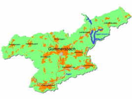
Location of Schusterburg in Gummersbach |
||
Schusterburg is a district of Gummersbach in the Oberbergischer Kreis in southern North Rhine-Westphalia , Germany , and with only one resident it is the least populated district of the municipality.
Location and description
Schusterburg is about 12.0 km from the city center of Gummersbach, a little off the K70 district road leading to the L173. Like the neighboring towns of Wörde , Hardt and Oberrengse , Schusterburg crouches in one of the south-eastern hollows of the Homert massif.
history
The place used to belong to the parish of Lieberhausen , later to the farmers of the same name. Until the regional reform of the Oberbergischer Kreis in 1969, it remained part of the previously independent municipality of Lieberhausen.
Schusterburg has probably always existed as a single farm. The first notarization dates from the end of the 19th century when "a rather dilapidated hut was bought and repaired"; In 1905, an adjacent, previously burned-down farm was bought and expanded the area, at least in terms of area.
Literature / individual references
- ^ Jürgen Woelke: Alt-Gummersbach. In contemporary images and views. Volume 2: A foray through the city and its 70 villages. Gronenberg, Gummersbach 1980, ISBN 3-88265-024-9 .


