Route cut
|
Route cut
City of Gummersbach
Coordinates: 51 ° 2 ′ 50 ″ N , 7 ° 30 ′ 12 ″ E
|
||
|---|---|---|
| Height : | 302 m above sea level NN | |
| Postal code : | 51647 | |
| Area code : | 02261 | |
|
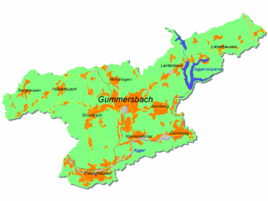
Location of Wegescheid in Gummersbach |
||
Wegescheid is a district of Gummersbach in the Oberbergisches Kreis in southern North Rhine-Westphalia , Germany .
Location and description
Wegescheid is located in the northwest of Gummersbach on the border with Marienheide in the valley of the Hesselbach, which flows into the Leppe . Neighboring towns are Herreshagen , Hülsenbusch , Obergelpe and the town of Hüttenermühle, which belongs to Marienheide .
history
The place was first mentioned in 1542. Two residents of the place "op dem Wegeschlade" are named in the Turkish tax lists.
Individual evidence
- ↑ Topographical Information Management TIM-online, provided by the Cologne District Government
- ^ Klaus Pampus: First documentary naming of Oberbergischer places (= contributions to Oberbergischen history. Sonderbd. 1). Oberbergische Department 1924 eV of the Bergisches Geschichtsverein, Gummersbach 1998, ISBN 3-88265-206-3 .

