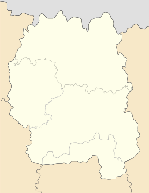
Khoroshiw
| Khoroshiw | ||
| Хорошів | ||

|
|
|
| Basic data | ||
|---|---|---|
| Oblast : | Zhytomyr Oblast | |
| Rajon : | Khoroshiw district | |
| Height : | 208 m | |
| Area : | 8.328 km² | |
| Residents : | 7,807 (2014) | |
| Population density : | 937 inhabitants per km² | |
| Postcodes : | 12100 | |
| Area code : | +380 4145 | |
| Geographic location : | 50 ° 36 ' N , 28 ° 26' E | |
| KOATUU : | 1821155100 | |
| Administrative structure : | 1 urban-type settlement , 2 villages | |
| Address: | вул. К. Маркса 13 12 101 смт. Хорошів |
|
| Statistical information | ||
|
|
||
Choroschiw ( Ukrainian Хорошів ; Russian Хорошев Choroschew , polish Horoszki ) is an urban-type in the Ukrainian oblast Schytomyr and the administrative center of the Rajons Choroschiw with about 7800 inhabitants (2014).
history
The village was founded in 1545 as Aleksandropol (Russian Александрополь ) after the name of a local prince and renamed Horoszki in 1607 due to the new Lithuanian landowners of the place . Until 1793 Horoszki belonged to the Polish aristocratic republic and then came to the Russian Empire , where the name was retained, but because of the kyrylic script Хорошки it is reproduced in German as Choroschki . In 1912 the city in honor of the late 18th century here was staying Field Marshal was Mikhail Kutuzov in Kutuzovo ( Кутузово ) renamed in 1921 the political motivated renamed Volodarsky took place (Ukrainian accordingly Wolodarskyj) after the Soviet revolutionary W. Volodarsky . In 1924 the place received the status of an urban-type settlement, in 1927 the addition Wolynskyj ( Wolodarsk-Wolynskyj / Володарськ-Волинський) was added to distinguish it from other places of the same name . On February 4, 2016 the place name was changed to Khoroshiw .
geography
Khoroshiw is located on the Irscha , a left tributary of the Teteriv 54 km northwest of the Oblast center Zhytomyr and about 150 km west of the capital Kiev . Territorial road T-06-03 runs through the village . The settlement council also includes the villages Selenyj Haj ( Зелений Гай - until 2016 Pjatyritschka / П'ятирічка) and Rudnja-Schljachowa ( Рудня-Шляхова ).
Web links
- Horoszki nad Irszą . In: Filip Sulimierski, Władysław Walewski (eds.): Słownik geograficzny Królestwa Polskiego i innych krajów słowiańskich . tape 3 : Haag – Kępy . Sulimierskiego and Walewskiego, Warsaw 1882, p. 153 (Polish, edu.pl ).


