Kedrovy (Krasnoyarsk)
| Urban-type settlement
Kedrovy
Kederovy
|
||||||||||||||||||||||||||||||||||||||||
|
||||||||||||||||||||||||||||||||||||||||
|
||||||||||||||||||||||||||||||||||||||||
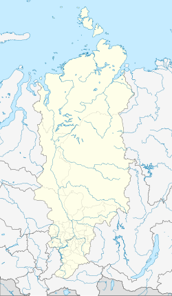
Kedrowy ( Russian Кедро́вый ) is a formerly " closed " urban-type settlement in the Krasnoyarsk region in Russia with 4692 inhabitants (as of October 14, 2010).
geography
The place is a good 40 km as the crow flies northwest of the regional administrative center of Krasnoyarsk on the Tamassul river, which flows a little southeast into the left Yenisei tributary Katscha .
Kedrowy is its only village and forms an urban district of the same name, a good 2 km north of the urban-type settlement Pamjati 13 Borzow of the Jemeljanowski rajon and 20 km west-northwest of its administrative seat Jemeljanowo .
history
The place was created from 1962 as a military settlement at the new location of the 36th Guards Division of the Strategic Missile Forces of the Soviet Union , which was previously stationed in the Tomsk area. The original code name of the settlement was Krasnoyarsk-66. On October 19, 1965, it received the status of a (closed) urban-type settlement under its current name, derived from the Russian word kedr (literally cedar , meaning the Siberian stone pine ). In the early 1990s, Kedrowy became a “closed administrative-territorial unit” (SATO) and as such a self-governing urban district independent of the Jemeljanowski rajon surrounding it.
As a result of the dissolution of the missile division in 2002, the settlement lost its status as SATO on January 1, 2007, but remained an independent urban district.
Population development
| year | Residents |
|---|---|
| 2002 | 5223 |
| 2010 | 4692 |
Note: census data
traffic
Immediately south of the neighboring settlement Pamjati 13 Borzow runs the federal trunk road R255 Sibir (formerly M53) Novosibirsk - Irkutsk , part of the transcontinental road connection. This also leads via Krasnoyarsk, where the nearest train station on the Trans-Siberian Railway is easily accessible by road . The two Krasnoyarsk airports, Jemelyanovo (international) and Cheremshanka (regional), are also close to the road in the direction of Krasnoyarsk, only about 15 km east of Kedrowy .
Web links
Individual evidence
- ↑ a b Itogi Vserossijskoj perepisi naselenija 2010 goda. Tom 1. Čislennostʹ i razmeščenie naselenija (Results of the All-Russian Census 2010. Volume 1. Number and distribution of the population). Tables 5 , pp. 12-209; 11 , pp. 312–979 (download from the website of the Federal Service for State Statistics of the Russian Federation)


