Onega (city)
| city
Onega
Онега
|
||||||||||||||||||||||||||||||||||||||
|
||||||||||||||||||||||||||||||||||||||
|
||||||||||||||||||||||||||||||||||||||
| List of cities in Russia | ||||||||||||||||||||||||||||||||||||||
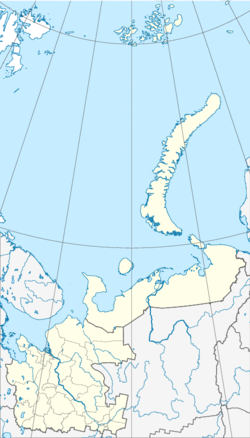
Onega ( Russian Оне́га ) is a city in northwestern Russia . It belongs to the Arkhangelsk Oblast and has 21,359 inhabitants (as of October 14, 2010).
geography
The city is located about 140 km southwest of the oblast capital Arkhangelsk on the right bank of the Onega near its confluence with the White Sea .
The city of Onega is administratively directly subordinate to the Oblast and at the same time the administrative center of the Rajon of the same name .
history
The place was founded in the 14th century (according to other sources as early as 1137) by Novgorodians as Ust-Onega and received city rights in 1780, initially under the name Oneg . In 1784 the city was named the district center and part of the Arkhangelsk Governorate and Onega.
Population development
The following overview shows the development of the population of Onega.
| year | Residents |
|---|---|
| 1897 | 2,541 |
| 1926 | 5,258 |
| 1939 | 15,783 |
| 1959 | 21.306 |
| 1970 | 25,047 |
| 1979 | 24,986 |
| 1989 | 26,070 |
| 2002 | 23,430 |
| 2010 | 21,359 |
Note: census data
economy
The most important branches of industry are the wood industry , the chemical industry and the building materials industry . Onega owns a seaport, a railroad station and an airport.
Individual evidence
- ↑ a b Itogi Vserossijskoj perepisi naselenija 2010 goda. Tom 1. Čislennostʹ i razmeščenie naselenija (Results of the All-Russian Census 2010. Volume 1. Number and distribution of the population). Tables 5 , pp. 12-209; 11 , pp. 312–979 (download from the website of the Federal Service of State Statistics of the Russian Federation); Čislennost 'naselenija po municipal'nym obrazovanijam i naselennym punktam Archangel'skoj oblasti, vključaja Neneckij avtonomnyj okru Itogi Vserossijskoj perepisi naselenija 2010 Goda (population number of municipal structure and places the Arkhangelsk including the Autonomous circles Nenets results of the All-Russian census 2010.) Table (Download from the website of the Federal Service for State Statistics of Arkhangelsk Oblast)


