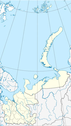
Vytschegodski
| Urban-type settlement
Vychegodsky
Вычегодский
|
||||||||||||||||||||||||||
|
||||||||||||||||||||||||||
|
||||||||||||||||||||||||||
| List of large settlements in Russia | ||||||||||||||||||||||||||
Wytschegodski ( Russian Вычего́дский ) is an urban-type settlement founded in 1942 in northwestern Russia . It belongs to the district of Kotlas within the Arkhangelsk Oblast and has 12,861 inhabitants (as of October 14, 2010).
geography
Vytschegodski is located about 485 kilometers southeast of the Oblast capital Arkhangelsk . The place is located about 10 km upstream and east of the city of Kotlas on the left bank of an arm of the eponymous Wytschegda .
Infrastructure
Vychegodsky is located on the the Second World War built railway Konosha -Kotlas- Vorkuta ( Pechora railway , route kilometers in 1094 from Moscow , 388 from Konosha) which bypasses the city of Kotlas south. Here a route branches off to the city of Kotlas; to Kotlas Severny station (Kotlas Nord) , originally the end point of the railway line from Perm via Kirow (then Vyatka ), which opened in 1899 . The railway station in Vytschegodski is called Solvychegodsk after the oldest town in the area, ten kilometers north on the far north bank, for which the railway station was initially built.
Population development
The following overview shows the development of the population of Wytschegodski.
| year | Residents |
|---|---|
| 1959 | 9,955 |
| 1970 | 10,926 |
| 1979 | 12,448 |
| 1989 | 14,491 |
| 2002 | 13,435 |
| 2010 | 12,861 |
Note: census data
Individual evidence
- ↑ a b Itogi Vserossijskoj perepisi naselenija 2010 goda. Tom 1. Čislennostʹ i razmeščenie naselenija (Results of the All-Russian Census 2010. Volume 1. Number and distribution of the population). Tables 5 , pp. 12-209; 11 , pp. 312–979 (download from the website of the Federal Service of State Statistics of the Russian Federation); Čislennost 'naselenija po municipal'nym obrazovanijam i naselennym punktam Archangel'skoj oblasti, vključaja Neneckij avtonomnyj okru Itogi Vserossijskoj perepisi naselenija 2010 Goda (population number of municipal structure and places the Arkhangelsk including the Autonomous circles Nenets results of the All-Russian census 2010.) Table (Download from the website of the Federal Service for State Statistics of Arkhangelsk Oblast)

