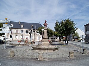
Saint-Georges-la-Pouge
| Saint-Georges-la-Pouge | ||
|---|---|---|
|
|
||
| region | Nouvelle-Aquitaine | |
| Department | Creuse | |
| Arrondissement | Guéret | |
| Canton | Ahun | |
| Community association | Creuse Sud Ouest | |
| Coordinates | 46 ° 0 ′ N , 1 ° 58 ′ E | |
| height | 470-636 m | |
| surface | 24.09 km 2 | |
| Residents | 370 (January 1, 2017) | |
| Population density | 15 inhabitants / km 2 | |
| Post Code | 23250 | |
| INSEE code | 23197 | |
 Town Hall ( Mairie ) |
||
Saint-Georges-la-Pouge is a commune in the Massif Central in France . It belongs to the Nouvelle-Aquitaine region , the Creuse department , the Guéret arrondissement and the Ahun canton .
geography
It borders in the north on La Chapelle-Saint-Martial and Le Donzeil , in the east on Saint-Sulpice-les-Champs , in the south on Chavanat and La Pouge and in the west on Saint-Hilaire-le-Château .
Population development
| year | 1962 | 1968 | 1975 | 1982 | 1990 | 1999 | 2006 | 2012 |
|---|---|---|---|---|---|---|---|---|
| Residents | 465 | 495 | 427 | 418 | 328 | 311 | 334 | 357 |
Web links
Commons : Saint-Georges-la-Pouge - Collection of images, videos and audio files


