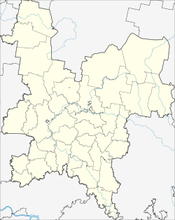
Arbash (Kirov)
| Urban-type settlement
Arbasch
Арбаж
|
||||||||||||||||||||||||||||||||
|
||||||||||||||||||||||||||||||||
|
||||||||||||||||||||||||||||||||
Arbasch ( Russian Арба́ж ) is an urban-type settlement in Kirov Oblast in Russia with 3563 inhabitants (as of October 14, 2010).
geography
The place is about 130 km as the crow flies southwest of the Kirov Oblast Administrative Center on the Shuwan, a left tributary of the Pischma .
Arbasch administrative center is the Rajons Arbaschski and seat of the municipality Arbaschskoje gorodskoje posselenije. In addition to the settlement, the municipality includes 23 surrounding villages and rural settlements, of which only four have more than 100 inhabitants (as of October 14, 2010): Basmany (km lich), Bolshoi Kugunur (km lich), Guliny (km lich) and Kisljaki (km lich).
history
The place was first mentioned in 1765 under the name Arbaschskije pochinki . He subsequently belonged to the Ujesd Kotelnitsch of the Vyatka Governorate and became the seat of a Volost . This was merged with four others in 1929 to form a raion of the same name.
In 1956 Arbasch received the status of an urban-type settlement.
Population development
| year | Residents |
|---|---|
| 1939 | 1570 |
| 1959 | 2286 |
| 1970 | 3432 |
| 1979 | 4201 |
| 1989 | 4927 |
| 2002 | 4067 |
| 2010 | 3563 |
Note: census data
traffic
The regional road 33N-011 leads to Arbasch, which branches off 12 km north of the federal trunk road R176 Vyatka , which runs from Cheboksary via Yoshkar-Ola and Kirov to Syktyvkar . In a north-easterly direction there is a connection to the 33N-10 to Sovetsk, 25 km away .
The nearest train stations are by road about 70 km south in Jaransk , the end point of a line from Zelenodolsk near Kazan via Yoshkar-Ola, and north in Kotelnitsch on the Trans-Siberian Railway .
Web links
Individual evidence
- ↑ a b Itogi Vserossijskoj perepisi naselenija 2010 goda. Tom 1. Čislennostʹ i razmeščenie naselenija (Results of the All-Russian Census 2010. Volume 1. Number and distribution of the population). Tables 5 , pp. 12-209; 11 , pp. 312–979 (download from the website of the Federal Service for State Statistics of the Russian Federation)

