Knittelfeld district
| Former Knittelfeld district | |
|---|---|
 |
|
| Basic data | |
| Country | Austria |
| state | Styria |
| Capital | Knittelfeld |
| surface | 578.1 km² |
| Residents | 29,095 (December 31, 2011) |
| density | 50 inhabitants per km² |
| ISO 3166-2 | AT-6 |
Cars: KF
|
|
Coordinates: 47 ° 15 ' N , 14 ° 49' E
The former political district of Knittelfeld was centrally located in Styria . On January 1, 2011, the district had 29,095 inhabitants on 578.11 km². The administrative seat was Knittelfeld . The license plate was KF.
history
From 1907 to 1932 there was already a political branch of the Judenburg district administration in Knittelfeld . The district of Knittelfeld was separated from the Judenburg district by ordinance of the Styrian state government of February 20, 1946 . On March 29, 1946, the Knittelfeld district administration was officially founded. As part of a reform agenda presented by the Styrian state government in 2011, the districts of Judenburg and Knittelfeld were merged again on January 1, 2012, the name of the newly established district is District Murtal .
Administrative division
The Knittelfeld district was divided into 14 municipalities , including two municipalities and two market communities. The population as of January 1, 2011 is in brackets.
| local community | location | Pop. | surface | Ew / km² | Judicial district | region | Type |
|---|---|---|---|---|---|---|---|
Apple mountain
|
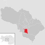 47 ° 12 ′ 10 ″ N , 14 ° 50 ′ 5 ″ E |
1091 | 9.33 km² | 117 inhabitants per km² | Knittelfeld | local community | |
Feistritz near Knittelfeld
|
 47 ° 16 ′ 3 ″ N , 14 ° 53 ′ 31 ″ E |
745 | 9.89 km² | 75 inhabitants per km² | Knittelfeld | local community | |
| Flat chess |
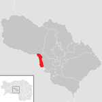 47 ° 13 ′ 0 ″ N , 14 ° 45 ′ 17 ″ E |
203 | 7.42 km² | 27 inhabitants per km² | Knittelfeld | local community | |
Gaal
|
 47 ° 16 ′ 23 " N , 14 ° 40 ′ 12" E |
1418 | 197.47 km² | 7.2 inhabitants per km² | Knittelfeld | local community | |
Grand lobbying
|
 47 ° 10 ′ 0 ″ N , 14 ° 48 ′ 0 ″ E |
1194 | 7.37 km² | 162 inhabitants per km² | Knittelfeld | local community | |
Petty lobming
|
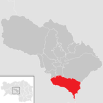 47 ° 9 ′ 0 ″ N , 14 ° 50 ′ 50 ″ E |
645 | 47.02 km² | 14 inhabitants per km² | Knittelfeld | local community | |
Knittelfeld
|
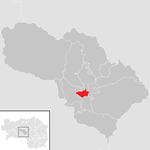 47 ° 12 ′ 54 " N , 14 ° 49 ′ 46" E |
11,607 | 4.52 km² | 2,568 inhabitants per km² | Knittelfeld | Borough | |
Kobenz
|
 47 ° 14 '49 " N , 14 ° 50' 44" E |
1850 | 17.64 km² | 105 inhabitants per km² | Knittelfeld | market community | |
Rachau
|
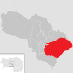 47 ° 13 '2 " N , 14 ° 54' 54" E |
621 | 104.94 km² | 5.9 inhabitants per km² | Knittelfeld | local community | |
Sankt Lorenzen near Knittelfeld
|
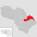 47 ° 15 ′ 0 ″ N , 14 ° 53 ′ 0 ″ E |
791 | 35.91 km² | 22 inhabitants per km² | Knittelfeld | local community | |
Sankt Marein near Knittelfeld
|
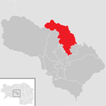 47 ° 16 '16 " N , 14 ° 51' 38" E |
1194 | 60.72 km² | 20 inhabitants per km² | Knittelfeld | local community | |
Sankt Margarethen near Knittelfeld
|
 47 ° 13 '36 " N , 14 ° 51' 32" E |
1339 | 7.38 km² | 181 inhabitants per km² | Knittelfeld | local community | |
Seckau
|
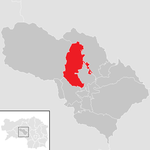 47 ° 16 ′ 30 ″ N , 14 ° 47 ′ 6 ″ E |
1262 | 46.24 km² | 27 inhabitants per km² | Knittelfeld | market community | |
Spielberg
|
 47 ° 13 ′ 0 ″ N , 14 ° 47 ′ 0 ″ E |
5135 | 22.28 km² | 230 inhabitants per km² | Knittelfeld | Borough |


