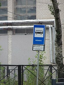
Männiku

Männiku (in German " pine forest ") is a district ( Estonian asum ) of the Estonian capital Tallinn . It is located in the Nõmme district .
description
The city district has 6,035 inhabitants (as of May 1, 2010). Its area is 3.7 square kilometers.
To the south of Männiku is the Männiku Lake ( Männiku järv ), to the southeast of the Raku Lake ( Raku järv ). In between is the smaller Pumba Lake ( Pumbajärv ). To the west, Männiku borders the Pääsküla moor ( Pääsküla raba ).
In 1798 the district was named Sukleni on the maps of Ludwig August Mellins . In the early 20th century, the area was called Valdeck (from the German name "Waldeck") to an eponymous tavern .
With the expansion of Tallinn into a sea fortress, the tsarist army built numerous barracks and fortifications. In May 1914 plans arose to build a garden city in the district. They could not initially be carried out because of the outbreak of the First World War . It was not until the early 1920s that major civil construction work began. At the same time, the existing military buildings were taken over by the young Estonian state.
In 1937 the foundation stone for the establishment of industrial plants in Männiku was laid with the Estonian building materials company Kvarts . With the influx of workers, the number of residents has risen continuously since the late 1930s.
Web links
- History of Männiku (Estonian)
Individual evidence
- ↑ Archived copy ( Memento of the original from May 17, 2011 in the Internet Archive ) Info: The archive link was inserted automatically and has not yet been checked. Please check the original and archive link according to the instructions and then remove this notice.
Coordinates: 59 ° 23 ' N , 24 ° 43' E
