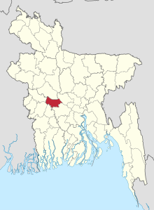
Rajbari (district)
Rajbari ( Bengali রাজবাড়ী ) is an administrative district in Bangladesh . It lies within the higher-level Dhaka administrative unit . It borders on the Pabna district to the north, the Faridpur and Magura districts to the south, the Manikganj district to the east and the Kushtia and Jhinaidaha districts to the west. The following five Upazilas belong to the Rajbari district: Baliakandi, Goalandaghat, Pangsha, Kalukhali and Rajbari Sadar. The district has 1,049,778 inhabitants (2011 census).
Coordinates: 23 ° 42 ' N , 89 ° 30' E
