Noyers-Saint-Martin
| Noyers-Saint-Martin | ||
|---|---|---|

|
|
|
| region | Hauts-de-France | |
| Department | Oise | |
| Arrondissement | Clermont | |
| Canton | Saint-Just-en-Chaussée | |
| Community association | Oise Picarde | |
| Coordinates | 49 ° 33 ' N , 2 ° 16' E | |
| height | 118-179 m | |
| surface | 13.27 km 2 | |
| Residents | 863 (January 1, 2017) | |
| Population density | 65 inhabitants / km 2 | |
| Post Code | 60480 | |
| INSEE code | 60470 | |
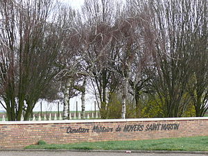
 Soviet military cemetery |
||
Noyers-Saint-Martin is a French municipality with 863 inhabitants (at January 1, 2017) in Oise in the region of Hauts-de-France . The municipality is located in the Arrondissement of Clermont and is part of the Communauté de communes de l'Oise Picarde and the canton of Saint-Just-en-Chaussée .
geography
The municipality is located on the watershed between Somme and Oise around four kilometers east-southeast of Froissy . The districts of Saint-Ladre and Gouy belong to it. A wind farm is located on the border with the neighboring municipality of Thieux . From 1891 to 1961, the meter railroad ran through the municipality from Estrées-Saint-Denis via Froissy to Crèvecœur-le-Grand .
history
In 1472, Charles the Bold's troops set the village of Saint-Martin on fire. The reconstruction took place in what was then the hamlet of Noyers.
population
| 1962 | 1968 | 1975 | 1982 | 1990 | 1999 | 2006 | 2011 |
|---|---|---|---|---|---|---|---|
| 566 | 593 | 604 | 589 | 657 | 709 | 734 | 770 |
administration
Jacques Teinielle has been mayor ( maire ) since 2014.
Attractions
- Soviet military cemetery with 4643 burials and a 2002 monument created by Vladimir Surovtsev
- Saint-Martin church from the 16th and 18th centuries
- Several basements (muches) in the municipality

