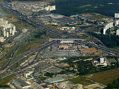
M2 (Russia)
| Main thoroughfare of federal importance | ||
|
||
| M2 Krym | ||
|---|---|---|
| Basic data | ||
| Overall length: | 697 km | |
|
Federation subjects : |
|
|
| European route : | E 105 | |
| map | ||
|
|
||

The M2 ("Crimea") is a Russian trunk road.
The M2 is part of the European route 105 . It leads from Dobrynin Square on the Moscow boulevard ring over the Warschauer Chaussee in a southerly direction, crossing the Moscow highway ring out of the city. It leads past the Moscow suburbs Podolsk and Serpuchow ( Moscow Oblast ) via Tula , Orjol , Kursk and Belgorod to the Ukrainian border at Oktyabrsky . Between the Moscow ring road and Plawsk , about 60 km behind Tula, it is developed as a motorway. Another 90 km of motorway between Mtsensk and Trosna (near Oryol) are under construction.
At the time of the Soviet Union , the M2 continued in the Ukrainian Soviet Republic via Kharkiv , Dnepropetrovsk , Zaporizhia and Melitopol to Simferopol on the Crimean peninsula .
course
| 0 km - Moscow |
| 32 km - Shcherbinka |
| 40 km - Klimovsk , crossing the A 107 |
| 97 km - Serpuchow , crossing the A 108 |
| 154 km - Tula, end of the highway |
| 202 km - Shchokino |
| 227 km - Plavsk |
| 266 km - Tschern |
| 290 km - Mtsensk |
| 349 km - Oryol |
| 375 km - Snamenka |
| 406 km - Kromy |
| 429 km - junction of the A 142 (to the M 3 to Kiev ) |
| 433 km - Trosna |
| 460 km - Verkhny Lyubash |
| 475 km - Fatesch |
| 510 km - Kursk, junction of the R298 |
| 560 km - Medvenka |
| 587 km - Obojan |
| 632 km - Yakovlevo |
| 643 km - Belgorod |
| approx. 697 km - border with Ukraine |
Further progress until 1991
| 723 km - Kharkiv , crossing of the M 19 |
| 781 km - Merefa |
| 801 km - Nowa Wodolaha |
| 860 km - Krasnohrad |
| 904 km - Pereshchepyne |
| 950 km - Novomoskovsk near Dnepropetrovsk |
| 958 km - crossing of the M 21 |
| 1004 km - Mychajlivka |
| 1053 km - Zaporizhia |
| 1098 km - Vasylivka |
| 1166 km - Melitopol , crossing of the M 23 |
| 1247 km - Novooleksiyivka |
| 1310 km - Dzankoy |
| 1363 km - Amurske (Amurskoye) |
| 1403 km - Simferopol , junction of the M 25 , A 291, A 292 and A 293 |
(Continuation of the European route 105 to Yalta )

