Forest height
|
Forest height
Kurten municipality
Coordinates: 51 ° 3 ′ 9 ″ N , 7 ° 17 ′ 39 ″ E
|
||
|---|---|---|
| Postal code : | 51515 | |
| Area code : | 02268 | |
|
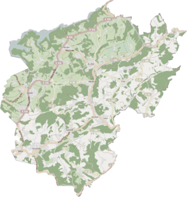
Location of Forstenhöhe in Kürten |
||
Forstenhöhe is a residential area in the municipality of Kürten in the Rheinisch-Bergisches Kreis .
location
The location lies between Bornen and forests and now forms a closed settlement area with Bornen, so that it is no longer perceived independently. In the settlement area there is a road Forstenhöhe , but the actual place has its origin on the road in Junkernberg . The name Forstenhöhe refers to the location of forests.
history
The settlement was built at the beginning of the 20th century on the connecting route between forests and borne. From this time on, the location is shown on official maps. In the 1960s and 1970s, further development was added, and with it the connection to Bornen.
Individual evidence
- ↑ Street names of the municipality of Kürten - origin and meaning. History association for the municipality of Kürten and the surrounding area V., accessed on August 20, 2019 .
