Lime Kiln (Kürten)
|
Lime kiln
Kurten municipality
Coordinates: 51 ° 0 ′ 25 ″ N , 7 ° 12 ′ 35 ″ E
|
||
|---|---|---|
| Postal code : | 51515 | |
| Area code : | 02207 | |
|
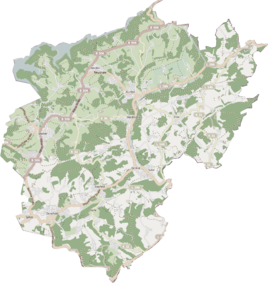
Location of the lime kiln in Kürten |
||
|
Houses in Lime Kiln 2017
|
||
Kalkofen is a district in the municipality of Kürten in the Rheinisch-Bergisches Kreis . The street is called Am Kalkofen .
history
In the forest adjacent to the south there are quarries where the limestone was extracted from the Paffrath limestone basin . The stones were then burned to lime in a lime kiln until the First World War . The lime kiln has been noted on official maps since the second half of the 19th century. On the Prussian new record from 1893–1896, buildings are drawn in at the site of today's house at Wipperfürther Strasse 50 and in the area of the lime kiln.
After the Second World War, a new settlement developed along the way through the construction of several houses.
Mining
In the vicinity of Kalkofen was the Gustav-Adolph mine field , which was consolidated with the Luther mine . In the middle between the places Kalkofen and Keller you will find the pinge of an experimental shaft , which is surrounded by a circular heap . Four trenches in the vicinity also come from mining .
Individual evidence
- ↑ Street names of the municipality of Kürten - origin and meaning, No. 19. Accessed on April 8, 2017 .

