Col du Jorat
| Col du Jorat | |||
|---|---|---|---|
|
Col du Jorat from the northeast, on the right in the background the Dents du Midi |
|||
| Compass direction | north | south | |
| Pass height | 2212 m above sea level M. | ||
| region | Valais , Switzerland | ||
| Watershed | Torrent de St. Barthélemy | Salanfe | |
| Valley locations | Evionnaz | Salvan VS | |
| expansion | Mule track | ||
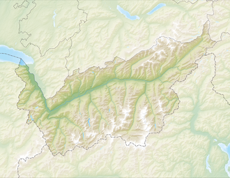
| Map (Valais) | |||
|
|
|||
| Coordinates | 564996 / 111070 | ||
The Col du Jorat is a 2212 m high mule pass actually entirely in the municipality of Evionnaz in the canton of Valais (the path leads about 120 meters above the municipality of Salvan VS ). The pass connects the valley near the village of Evionnaz with the Alps on Lac de Salanfe , which also belongs to the municipality and drains through the area of the municipality of Salvan.

