Meidpass
| Meidpass | |||
|---|---|---|---|
|
View towards Meidpass above St. Luc , near Hotel Weisshorn. |
|||
| Compass direction | west | east | |
| Pass height | 2790 m above sea level M. | ||
| region | Valais , Switzerland | ||
| Valley locations | Anniviers , district of St. Luc | Oberems , district of Gruben-Meiden | |
| expansion | Mule track | ||
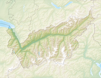
| Map (Valais) | |||
|
|
|||
| Coordinates | 617 194 / 119064 | ||
The Meidpass is a 2790 m above sea level. M. high Saumpass in the canton of Valais , Switzerland . The pass connects the Turtmann Valley in the east with the valley community of Oberems and the Val d'Anniviers in the west with the valley community of Anniviers , district of St. Luc . Below the top of the pass is the small Meidsee on the east side .
The pass lies on the language border between the German-speaking and French-speaking parts of the canton of Valais.
Alpine passes trail
About the Meidpass national hiking route Alpine Passes Trail from SwitzerlandMobility no. 18/06 Pit Zinal (stage 18).

