Pas de Boeuf
| Pas de Boeuf | |||
|---|---|---|---|
|
|
|||
| Compass direction | west | east | |
| Pass height | 2817 m above sea level M. | ||
| region | Valais , Switzerland | ||
| Watershed | Torrent des Moulins, La Navisance, Rhone | Front Borterbach, Turtmänna , Rhone | |
| Valley locations | Anniviers , district of St. Luc | Oberems | |
| expansion | Mule track | ||
| Map (Valais) | |||
|
|
|||
| Coordinates | 616 838 / 120219 | ||
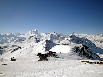
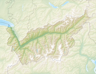
The Pas de Boeuf (translated "ox pass") is 2817 m above sea level. M. high Saumpass between the municipalities Oberems in Turtmanntal and Anniviers , district of St. Luc in the Val d'Anniviers in the canton of Valais , Switzerland .
The ascent from the Turtmann valley through the Bortertälli is long and strenuous. The ascent from the Val d'Anniviers can be achieved by taking the funicular from St. Luc to the Tignousa mountain station at 2186 m above sea level. Shorten M.
One of the two hiking routes on the Bella Tola and in winter the ski slope from the Bella Tola lead past the Pas de Boeuf.
Web links
Commons : Pas du Boeuf - collection of images, videos and audio files

