Col de Torrent
| Col de Torrent | |||
|---|---|---|---|
|
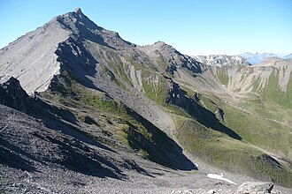
The Col de Torrent seen from the south. |
|||
| Compass direction | west | east | |
| Pass height | 2918 m above sea level M. | ||
| region | Valais , Switzerland | ||
| Watershed | Borgne | Gougra | |
| Valley locations | Evolène | Grimentz | |
| expansion | Mule track | ||
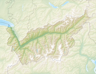
| Map (Valais) | |||
|
|
|||
| Coordinates | 607259 / 108739 | ||
The Col de Torrent is a 2918 m high mule pass between the municipalities of Evolène and Villa on one side and Grimentz on the other in the canton of Valais . The pass connects the Val d'Hérens with the Val d'Anniviers . At the top of the pass you have a good view of the 4000 m peaks of the Valais Alps , the Lac de Moiry reservoir and the small mountain lake Lac des Autannes .
Over the Col de Torrent national trail no leads. 6 Alpine Passes Trail from SwitzerlandMobility .

