Tamier pass
| Tamier pass | |||
|---|---|---|---|
|
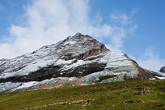
Ascent to the Tamierpass, Pizzo Medola from the Rifugio Pian di Crest |
|||
| Compass direction | west | east | |
| Pass height | 2772 m above sea level M. | ||
| region | region Piedmont | Canton of Ticino | |
| Watershed | Toce , Lake Maggiore | Bavona , Maggia | |
| Valley locations | Canza | San Carlo | |
| expansion | Mountain path | ||
| map | |||
|
|
|||
| Coordinates , ( CH ) | 46 ° 24 '0 " N , 8 ° 28' 1" O ( 679 081 / 139244 ) | ||
The Tamierpass is a 2772 m above sea level. M. high Saumpass in the Ticino Alps . The border between Italy and Switzerland runs at the top of the pass . The mule track connects Canza ( 1412 m ) in Piedmont in Italy with San Carlo ( 938 m ) in Bavona valley in Switzerland. The pass lies between the Tamierhorn ( 3086 m ) and the Pizzo Mèdola ( 2957 m ).
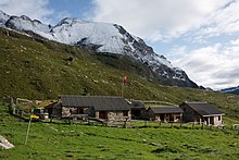
On the Italian side is the Rifugio Maria Luisa at 2160 m and on the Swiss side the Rifugio Pian di Crest at 2108 m .


