Passo di Pontimia
| Passo di Pontimia | |||
|---|---|---|---|
|
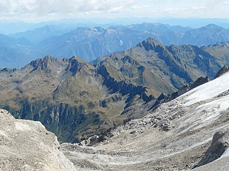
View from the Zwischenbergen Pass to the Alpe Pontimia |
|||
| Compass direction | North | east | |
| Pass height | 2379 m | ||
| region | Canton of Valais | region Piedmont | |
| Watershed | Big water, Diveria , Toce | Bogna, Toce | |
| Valley locations | Gondo / Simplon Pass | Bognanco / Valle di Bongnaco | |
| expansion | Mule track | ||
| Mountains | Valais Alps | ||
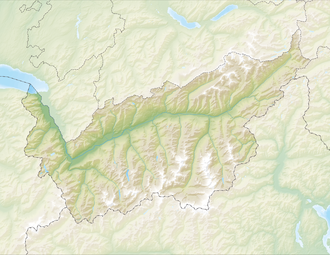
| Map (Valais) | |||
|
|
|||
| Coordinates , ( CH ) | 46 ° 7 '22 " N , 8 ° 6' 54" O ( 652 275 / 108152 ) | ||
The Passo di Pontimia is a mountain pass in the Valais Alps . The border between Italy and Switzerland runs at the top of the pass . At an altitude of 2379 m above sea level. M. it connects the places Gondo ( 855 m ) and Bognanco ( 980 m ). A mule track and hiking trail leads over the pass .
The pass lies between the Pizzo Sraciugo ( 2713 m ) in the north and the Cima del Rosso ( 2624 m ) in the south.

