Bocchetta di Val Maggia
| Bocchetta di Val Maggia | |||
|---|---|---|---|
|
To the Bocchetta it goes up to the left between the two small lakes. Behind the Bocchetta rises the Basòdino with the glacier of the same name. |
|||
| Compass direction | west | east | |
| Pass height | 2635 m above sea level M. | ||
| region | region Piedmont | Canton of Ticino | |
| Watershed | Toce , Lake Maggiore | Bavona , Maggia | |
| Valley locations | Rials | Robièi | |
| expansion | Mountain path | ||
| Mountains | Ticino Alps | ||
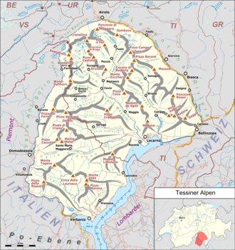
| map | |||
|
|
|||
| Coordinates , ( CH ) | 46 ° 26 '21 " N , 8 ° 27' 51" O ( 678 803 / 143605 ) | ||
The Bocchetta di Val Maggia is a mule track that leads over the southern main ridge in the Ticino Alps . The border between Italy and Switzerland runs at the top of the pass . The mule track connects Riale in Piedmont in Italy with Robièi in Bavona valley in Switzerland. The pass is on the Via Alpina .
On the Italian side is the Rifugio Maria Luisa at 2160 m and on the Swiss side the Basodinohütte at 1856 m .

