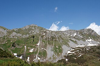
Kinzig Pass
| Kinzig Pass | |||
|---|---|---|---|
|
Kinzigpass, seen from the Weissenboden (Biel) |
|||
| Compass direction | north | south | |
| Pass height | 2073 m above sea level M. | ||
| Canton | Uri | ||
| Watershed | Muota | Weaknesses | |
| Valley locations | Muotathal | Bürglen | |
| expansion | Mule track | ||
| map | |||
|
|
|||
| Coordinates | 698 001 / 195933 | ||
The Kinzigpass (often also spelled Chinzig) is a mule track in Switzerland . It connects over a height of 2073 m above sea level. M. the Urner Schächental with the Schwyzerischen Muotatal . A cable car runs from Bürglen in the Schächental to Biel .
history
A crossing of the pass by the Russian General Suworow with his army (about 21,000 men) on September 26, 1799, which took two days is described as historical . At the pass there is a refuge and the highest chapel in the canton of Uri . It was built in 1924 and the interior was painted by the Uri painter Heinrich Danioth.
Web links
- Height chart
- Chinzig Chulm on wandersite.ch
- Cable cars in Bürglen at buerglen.ch
Individual evidence
- ↑ Archived copy ( Memento of the original from September 18, 2009 in the Internet Archive ) Info: The archive link was inserted automatically and has not yet been checked. Please check the original and archive link according to the instructions and then remove this notice.
- ↑ Archived copy ( memento of the original from October 17, 2008 in the Internet Archive ) Info: The archive link was inserted automatically and has not yet been checked. Please check the original and archive link according to the instructions and then remove this notice.

