Zeblasjoch
| Zeblasjoch | |||
|---|---|---|---|
|
From left: Stammerspitze (Piz Tschütta), Zeblasjoch, Piz Rots (Vesilspitze) |
|||
| Compass direction | northwest | east | |
| Pass height | 2538 m above sea level M. | ||
| region | State of Tyrol | Canton of Graubünden | |
| Watershed | Vesilbach → Fimbabach → Trisanna → Sanna → Inn | Schergenbach → Inn | |
| Valley locations | Ischgl / Paznaun | Samnaun / Val Musauna | |
| expansion | Mule track | ||
| Mountains | Samnaun group | ||
| map | |||
|
|
|||
| Coordinates , ( CH ) | 46 ° 56 '15 " N , 10 ° 18' 32" O ( 818 517 / 202497 ) | ||
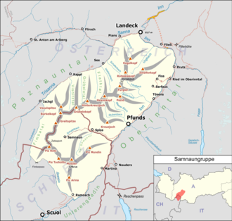
The Zeblasjoch is a mountain pass in the Graubünden Alps . The border between Austria and Switzerland runs at the top of the pass . At an altitude of 2538 m above sea level. M. ( 2539 m above sea level according to Austrian surveying) it connects the places Ischgl ( 1376 m above sea level ) and Samnaun ( 1846 m above sea level ). A mule track and hiking trail leads over the pass .
The pass lies between the Paliner Kopf ( 2863 m ) in the north and the Piz Rots (Vesilspitze) ( 3096 m ) in the south. The closest hut is the Heidelberger Hut DAV ( Romansh : Chamanna Fenga).

