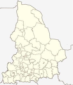
Tabory (Sverdlovsk, Taborinsky)
| Village
Tabory
Таборы
|
||||||||||||||||||||||||||||||||||||
|
||||||||||||||||||||||||||||||||||||
|
||||||||||||||||||||||||||||||||||||
Tabory ( Russian Таборы́ ) is a village (selo) in the Sverdlovsk Oblast in Russia with 1885 inhabitants (as of October 14, 2010).
geography
The place is about 300 km as the crow flies northeast of the Yekaterinburg Oblast Administrative Center in the West Siberian lowlands . It is located between the right bank of the Tawda and its right tributary Taborinka , which flows four kilometers to the southeast.
Tabory is the administrative center of the Rajons Taborinski and seat of the rural community Taborinskoje selskoje posselenije. The municipality also includes the villages of Antonowka (11 km west-northwest), Dobrino, Motschalka (both 30 km south-south-west), Firuli (13 km north-west), Jemeljaschewka (24 km south-west), Koksharowo (5 km south-east) and Toromka (22 km south-west) all of which have less than 100 inhabitants.
history
The place was (already according to other sources in 1583) in 1594, first as a military base during the Russian advance into Siberia under Prince and province governor Pyotr Gorchakov established, as well as the further north near the mouth of Pelym located in the Tavda Pelym . Before that there was a Mansi principality in the area .
Since November 12, 1923, Tabory has been the administrative seat of a Rajon named after him.
Population development
| year | Residents |
|---|---|
| 1939 | 1508 |
| 1959 | 2165 |
| 1970 | 1867 |
| 1979 | 1931 |
| 1989 | 2107 |
| 2002 | 2096 |
| 2010 | 1885 |
Note: census data
traffic
Tabory is the end of the regional road 65K-2704, which runs from the 70 km southeast of the city of Tawda up the right bank of the river Tawda. The nearest train station on the Ekaterinburg - Ustye-Acha ( Meshdurechensky ) line is also located in Tavda . The more than 200 km long regional road 65K-1003 from Tabory the Tawda further up to the north-west neighboring district of Gari is currently being expanded for year-round accessibility and partially re-routed (status 2014).
A small airfield on the western outskirts ( ICAO code USTW ) has been out of service since the 1990s.
Web links
Individual evidence
- ↑ a b Itogi Vserossijskoj perepisi naselenija 2010 goda. Tom 1. Čislennostʹ i razmeščenie naselenija (Results of the All-Russian Census 2010. Volume 1. Number and distribution of the population). Tables 5 , pp. 12-209; 11 , pp. 312–979 (download from the website of the Federal Service for State Statistics of the Russian Federation)
- ↑ Tabory on the website of the Geographical Institute of the RAN (Russian)


