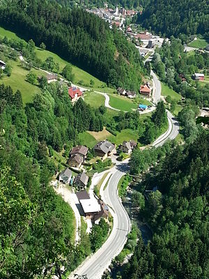
Reichsstrasse 335
| Reichsstrasse 335 in the German Empire | |
| 335 | |
| map | |
| Basic data | |
| Operator: |
|
| Start of the street: | Völkermarkt |
| End of street: | Seebergsattel |
| Overall length: | 43 km historical |
| The former Reichsstraße in the Vellachtal | |
The Reichsstraße 335 ( R 335 ) was a Reichsstraße of the German Empire until 1945 , which ran entirely in what is now the Austrian state of Carinthia . The road began at what was then Reichsstraße 333 in the city of Völkermarkt and ran on the route of today's Seeberg Straße B 82 via Eisenkappel to Seebergsattel , which formed the border with Yugoslavia until the annexation of northern Carniola in 1941 .
Its total length to the Seebergsattel was around 43 kilometers.
Individual evidence
- ^ The German Automobile Club (ed.): Road map of Germany, scale 1: 1,250,000, 1941
