Col de Montvoie
| Col de Montvoie | |||
|---|---|---|---|
|
Col de Montvoie, top of the pass |
|||
| Compass direction | North | southwest | |
| Pass height | 858 m above sea level M. | ||
| region | Canton of Jura | Region Bourgogne Franche-Comté | |
| Watershed | Allaine , Doubs | Doubs | |
| Valley locations | Pruntrut | Glère | |
| expansion | Pass road | ||
| Mountains | law | ||
| profile | |||
| Ø pitch | 4.6% (415 m / 9 km) | 4.1% (447 m / 11 km) | |
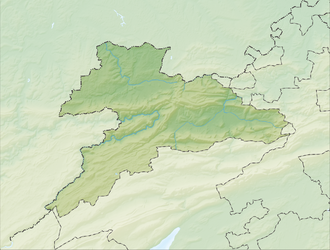
| Map (Jura) | |||
|
|
|||
| Coordinates , ( CH ) | 47 ° 22 '12 " N , 7 ° 3' 5" O ( 570 752 / 246655 ) | ||
The Col de Montvoie (formerly also: Col des Chainions) is a pass in the Swiss canton of Jura in the municipality of Fontenais between Pruntrut (Switzerland) and Glère (France). The pass connects the Ajoie with the Doubstal . The pass is at 858 m above sea level. M. at the west foot of the hill "Les Chainions" ( 909 m ) and cuts through the Lomont chain.

