Croix de Coeur
| Croix de Coeur | |||
|---|---|---|---|
|
View towards Pierre Avoi and Dents du Midi |
|||
| Compass direction | North | west | |
| Pass height | 2174 m above sea level M. | ||
| Canton | Valais | ||
| Watershed | Dranse , Rhone | La Fare, Rhone | |
| Valley locations | Riddes | Verbier | |
| expansion | Pass road | ||
| Mountains | Valais Alps | ||
| profile | |||
| Ø pitch | 7.3% (584 m / 8 km) | 7.7% (1702 m / 22 km) | |
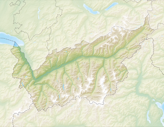
| Map (Valais) | |||
|
|
|||
| Coordinates | 584.05 thousand / 107834 | ||
Croix de Coeur (translated Heart Cross ) is a passport in the Swiss canton of Valais . It connects the towns of Verbier and Riddes . The pass is at 2174 m above sea level. M. between the Savoleyres ( 2343 m ) in the west and the Tête des Etablons ( 2415 m ) in the east.
The carriage road from the valley to the village of Verbier-Village was founded in 1936 and from there to the terrace with the early tourism facilities since 1949. The municipal boundary extends north across the mountain range of Pierre Avoi and the mountain passes Col de la Marlene and Croix de Coeur to to the Tête des Etablons.
Web links
- Croix de coeur on quaeldich.de
- Col de la Croix-de-Coeur - 30min Savoleyres - 1h 30min Pierre Avoi - 45min Comba Plane - 1h 10min col de la Croix-de-Coeur. Total: 3h 55min (T2)


