Col du Lein
| Col du Lein | |||
|---|---|---|---|
|
Col du Lein, looking east. Below left the road leads over the Col des Planches to Martigny , above left to Saxon and right to the south and Vollèges . |
|||
| Compass direction | North | south | |
| Pass height | 1658 m above sea level M. | ||
| Canton | Valais | ||
| Valley locations | Saxon | Sembrancher | |
| expansion | Pass road (2 km unpaved) | ||
| profile | |||
| Denzel scale | SG 3 | ||
| Ø pitch | 8% (1125 m / 14 km) | 8.6% (944 m / 11 km) | |
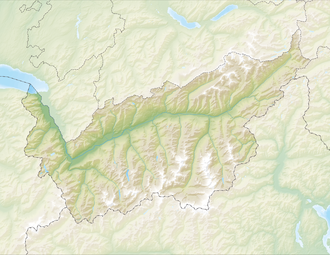
| Map (Valais) | |||
|
|
|||
| Coordinates | 578392 / 106909 | ||
The Col du Lein ( Pas du Lin ) is a pass in Switzerland that connects the Rhone Valley with the Val de Bagnes . The pass height is 1658 m above sea level. M. In addition to paved roads, there is also a 2 km long unpaved section. The distance between Saxon and Vollèges is 26 km, the maximum gradients are 12% ( SG 3 ). A third road connects the Col du Lein to the southwest via the Col du Tronc and the Col des Planches with Martigny .
To the east of the pass is the 2473 m high Pierre Avoi .
photos
Web links
Commons : Col du Lein - Collection of images, videos and audio files


