Col du Tronc
| Col du Tronc | |||
|---|---|---|---|
|
Col du Tronc above Le Levron and Vollèges |
|||
| Compass direction | northwest | Southeast | |
| Pass height | 1608 m above sea level M. | ||
| Canton | Valais | Valais | |
| Watershed | Rhone | Dranse , Rhone | |
| Valley locations | Col des Planches | Vollèges | |
| expansion | Pass road | ||
| Mountains | Valais Alps | ||
| profile | |||
| Ø pitch | 9.9% (197 m / 2 km) | 19.1% (765 m / 4 km) | |
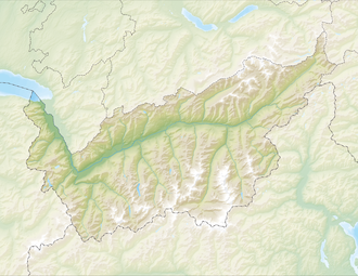
| Map (Valais) | |||
|
|
|||
| Coordinates | 577 144 / 105619 | ||
The Col du Tronc is a pass in the Swiss canton of Valais in the municipality of Vollèges between the Col des Planches and Vollèges. The pass is at 1608 m above sea level. M. above Le Levron ( 1307 m ). A road connects the pass in a south-westerly direction with the Col des Planches and in a north-easterly direction unpaved with the Col du Lein (1658 m).

