Pas de Morgins
| Pas de Morgins | |||
|---|---|---|---|
|
Pas de Morgins |
|||
| Compass direction | west | east | |
| Pass height | 1369 m above sea level M. | ||
| region | Department Haute-Savoie | Canton of Valais | |
| Valley locations | Abondance | Monthey | |
| expansion | Pass road | ||
| Winter closure | no | ||
| Mountains | Alps | ||
| profile | |||
| Ø pitch | 3.3% (459 m / 14 km) | 5.7% (945 m / 16.5 km) | |
| Max. Incline | 7.9% | 10.6% | |
| Map (Valais) | |||
|
|
|||
| Coordinates , ( CH ) | 46 ° 14 '59 " N , 6 ° 50' 45" O ( 554 283 / 122205 ) | ||
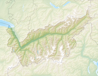
The Pas de Morgins is a pass between the Swiss canton of Valais and France . To the southeast, the Val de Morgins leads to Troistorrents into the Val d'Illiez and to Monthey , to the northwest you reach Abondance . The pass is at 1369 m.
At the pass there is a small chapel, the moraine lake Lac de Morgins, as well as a low moor and amphibian spawning area, which are under nature protection.
history
The crossing was already used in the 13th century when Peter II of Savoy crossed it with his troops in the direction of Valais. The pass has been on the border between Valais and Savoy since 1569, today between France and Switzerland . On the pass, boundary stones from the 18th and 19th centuries remind of this. In 1870 the pass was expanded from a mule track to a road.
literature
- Pascal Dubey: Morgins, Pas de. In: Historical Lexicon of Switzerland . 2009 .
Web links
Individual evidence
- ↑ Lake of Morgins (Troistorrent) . Pro Natura Wallis (pronatura-vs.ch), accessed on August 26, 2013.
- ^ A b Pascal Dubey: Pas de Morgins. In: Historical Lexicon of Switzerland .


