Col de la Forclaz
| Col de la Forclaz | |||
|---|---|---|---|
|
Col de la Forclaz |
|||
| Compass direction | North | west | |
| Pass height | 1527 m above sea level M. | ||
| Canton | Valais | ||
| Watershed | Dranse , Rhone | Trento , Rhône | |
| Valley locations | Martigny | Le Châtelard | |
| expansion | Pass road | ||
| Built | 1957 | ||
| Mountains | Valais Alps | ||
| profile | |||
| Ø pitch | 6.6% (1051 m / 16 km) | 5% (427 m / 8.5 km) | |
| Max. Incline | 9% (on km 9) | ||
| Map (Valais) | |||
|
|
|||
| Coordinates | 566 181 / 100758 | ||
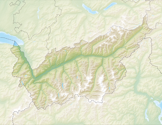
The Col de la Forclaz (from Latin furca , German fork) is a pass in the Swiss canton of Valais . It connects the towns of Martigny and Le Châtelard . The pass height is 1527 m above sea level. M. between the Mont de l'Arpille ( 2085 m ) in the north and the Croix des Prélayes ( 2417 m ) in the massif of Le Génépi ( 2884 m ) in the south. Part of the pass road leads through the Vallée du Trient .
The first road was built in 1824, the current route was laid out in 1957. The main connection leads over the pass from Martigny via the subsequent Col des Montets to Chamonix in France.
The pass is usually open all year round.
Other places with this name
There are (at least) three more "Col de la Forclaz", all of which are in France :
- in Queige , Haut-Savoie ( , altitude 881 m)

- near Bonneville , Haut-Savoie ( , altitude 1844 m)

- above Lac d'Annecy ( , altitude 1157 m)

Web links
Commons : Col de la Forclaz - collection of images, videos and audio files
- André Décaillet: Col de la Forclaz. In: Historical Lexicon of Switzerland .
- Col de la Forclaz on quaeldich.de
- Profile of the north side
- Col de la Forclaz on the ETHorama platform
Individual evidence
- ↑ TCS - Everything you need to know about Swiss passports. TCS, accessed November 5, 2017 .

