Schaidasattel
| Schaidasattel | |||
|---|---|---|---|
|
Pass height |
|||
| Compass direction | west | east | |
| Pass height | 1068 m above sea level A. | ||
| state | Carinthia | ||
| Valley locations | Zell-Schaida | Bad Eisenkappel | |
| expansion | L108 | ||
| Mountains | Karawanken , Southern Limestone Alps | ||
| profile | |||
| Denzel scale | SG 2-3 | ||
| Map (Carinthia) | |||
|
|
|||
| Coordinates | 46 ° 28 '43 " N , 14 ° 28' 3" E | ||
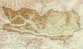
The Schaidasattel is an alpine pass in the Austrian state of Carinthia . Coming from Zell-Schaida , south of the Hochobir , it reaches a pass height of 1068 m above sea level. A. and leads from there to Bad Eisenkappel .
Between the top of the pass and Bad Eisenkappel, a road branches off to the Trögerner Klamm further south .
Web links
Individual evidence
- ↑ Harald Denzel: Great Alpine Road Guide . 22nd edition; Denzel-Verlag Innsbruck 2005, ISBN 3-85047-764-9
- ^ Austrian Map online 1: 50,000 (ÖK 50) of the BEV

