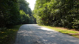
Stallion saddle
| Stallion saddle | |||
|---|---|---|---|
|
Pass summit, view in southwest direction |
|||
| Compass direction | Northeast | southwest | |
| Pass height | 517 m above sea level A. | ||
| district | St. Pölten , Lower Austria | Baden, Lower Austria | |
| Watershed | Cold Vienna → Vienna → Danube | Agsbach → Schwechat → Danube | |
| Valley locations | Press tree | Klausen-Leopoldsdorf | |
| expansion | L2111 | ||
| Mountains | Vienna Woods | ||
| profile | |||
| Ø pitch | 3.3% (202 m / 6.1 km) | 1.9% (142 m / 7.5 km) | |
| Map (Lower Austria) | |||
|
|
|||
| Coordinates | 48 ° 8 '17 " N , 16 ° 2' 58" E | ||
The Hengstlsattel is 517 m above sea level. A. high saddle between Hengstlberg ( 619 m above sea level ) and Hengstl (approx. 550 m above sea level ) in the Vienna Woods in Lower Austria . The Hengstlsattel is also called Hengstlhöhe or simply Hengstl . The L 2111 road above it connects Pressbaum in the St. Pölten district with Klausen-Leopoldsdorf in the Baden district and is open all year round. The importance of the connection for general road traffic is rather minor. At the top of the pass, the borders of the communities of Klausen-Leopoldsdorf, Pressbaum and Wolfsgraben meet.
Individual evidence
- ↑ a b c Hengstl and the surrounding area on ÖK 50 , www.austrianmap.at , Federal Office for Metrology and Surveying Austria, Austrian map, scale 1: 50,000.
- ↑ Estimation based on the contour lines on the map

