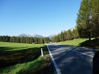
Wooden ladder saddle
| Wooden ladder saddle | |||
|---|---|---|---|
|
Pass height |
|||
| Compass direction | west | east | |
| Pass height | 1119 m above sea level A. | ||
| state | Tyrol | ||
| Valley locations | Nassereith | Obsteig | |
| expansion | B 189 | ||
| Mountains | Mieminger Mountains | ||
| profile | |||
| Ø pitch | 3.8% (310 m / 8.1 km) | 4.7% (128 m / 2.7 km) | |
| Max. Incline | 12% | 11% | |
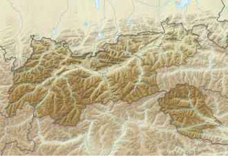
| Map (Tyrol) | |||
|
|
|||
| Coordinates | 47 ° 18 '20 " N , 10 ° 53' 32" E | ||
The Holzleitensattel ( 1119 m above sea level ) is a mountain pass between Nassereith and Obsteig in Tyrol . The B 189 runs over the saddle with a length of around 25 km, which is an important and busy connection from the Inntal to the Fernpass . While the ascent in the east over the Mieminger Plateau is gradual, the saddle in the west drops relatively steeply into the Gurgltal (approx. 810 m above sea level ). The maximum gradient is 12%.
The saddle is named after the Rotte Holzleiten (municipality of Obsteig), which is located near the top of the pass.
Individual evidence
- ↑ Holzleitensattel and surroundings on ÖK 50 , www.austrianmap.at , Federal Office for Metrology and Surveying Austria, Austrian map, scale 1: 50,000.
- ^ ÖAMTC: mountain and pass roads

