Kartitscher saddle
| Kartitscher Saddle ( valley watershed ) |
|||
|---|---|---|---|
|
View to the Kartitscher Sattel (center) over Heinfels |
|||
| Compass direction | west | east | |
| height | 1525 m above sea level A. | ||
| district | Lienz | ||
| Watershed | Gailbach , Drau , Danube | Gail , Drau, Danube | |
| Valley locations | Streets | Untertilliach | |
| expansion | Gailtal Strasse (B111) | ||
| Mountains | Carnic Alps , Lienz Dolomites | ||
| profile | |||
| Ø pitch | 5% (453 m / 9.0 km) | 2.5% (290 m / 11.4 km) | |
| Max. Incline | 13% | ||
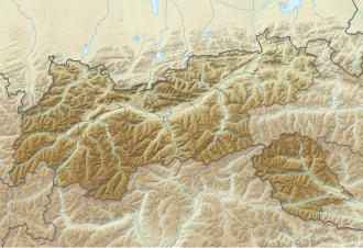
| Map (Tyrol) | |||
|
|
|||
| Coordinates | 46 ° 43 '5 " N , 12 ° 32' 27" E | ||
The Kartitscher Sattel is a valley watershed in the Tyrolean Gailtal in East Tyrol at an altitude of 1525 m above sea level. A. It lies between the Carnic Alps in the south and the Lienz Dolomites in the north. On the eastern side is Obertilliach , on the western side, on the Gailbach , the eponymous Kartitsch . The Gailbach, which flows west, and the Gail, which flows east, arise on the saddle only around 150 m apart .
The saddle is accessed via Gailtalstraße (B111). Its importance is regional. The Plöckenpass connects to the south, Nassfeld and Südautobahn a little further away . To the north, most of East Tyrol opens up, to continue driving through the Felbertauern and over the Toblacher Feld . The next bypass is the Gailbergsattel .
Individual evidence
- ↑ Kartitscher Sattel and the surrounding area on ÖK 50 , www.austrianmap.at , Federal Office for Metrology and Surveying Austria, Austrian map.
Web links
- Entry on Kartitscher Sattel in the Austria Forum (in the AEIOU Austria Lexicon )

