Anlhiac
|
Anlhiac Anlhac |
||
|---|---|---|

|
|
|
| region | Nouvelle-Aquitaine | |
| Department | Dordogne | |
| Arrondissement | Nontron | |
| Canton | Isle-Loue-Auvézère | |
| Community association | Isle-Loue-Auvézère en Périgord | |
| Coordinates | 45 ° 19 ′ N , 1 ° 8 ′ E | |
| height | 141-333 m | |
| surface | 11.86 km 2 | |
| Residents | 275 (January 1, 2017) | |
| Population density | 23 inhabitants / km 2 | |
| Post Code | 24160 | |
| INSEE code | 24009 | |
| Website | Anlhiac | |
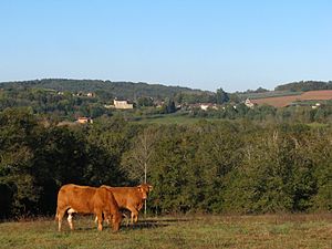
 Anlhiac - View of town with St-Pierre-aux-liens church |
||
Anlhiac ( Occitan Anlhac ) is a place and several hamlets (hamlets) existing and farmsteads community with 275 inhabitants (as of January 1 2017) in the southern French department of Dordogne in the region Nouvelle-Aquitaine .
location
Anlhiac is a good 44 km (driving distance) northeast of Périgueux or a good 46 km northwest of Brive-la-Gaillarde in the historic province of Périgord at an altitude of about 235 m above sea level. d. The climate is temperate and is influenced equally by the Atlantic Ocean and the mountains of the Massif Central .
Population development
| year | 1800 | 1851 | 1901 | 1954 | 1999 | 2017 |
| Residents | 700 | 857 | 718 | 415 | 300 | 275 |
The continuous population decline since the second half of the 19th century is mainly due to the phylloxera crisis in viticulture and the increasing mechanization of agriculture as well as the associated loss of jobs.
economy
The place and its surroundings were dominated by agriculture for centuries; Most of the people lived on the produce of their fields and gardens as self-sufficient ; livestock and viticulture were also practiced. Craftsmen, small traders and service providers of all kinds have settled in the village. Since the 1960s tourism has played a not insignificant role in the economic life of the municipality in the form of renting out holiday homes ( gîtes ) .
history
The first mention of the old place name Ulhac comes from the year 1365; The name Anlhacum appears for the first time in 1446 .
Attractions
- The parish church of Saint-Pierre-aux-liens was built in the 12th century, but only the Romanesque apse is original. The rest of the building appears in the 16th / 17th centuries. Century to have been reworked in simple forms. The unadorned facade is bordered by high buttresses on the sides and raised by a three-part bell gable.
- The Château d'Anlhiac is a 16th century building with later alterations and extensions. It stands on a ledge and can be seen from afar. It is privately owned but can be rented for events.
- Surroundings
- The Guimalet mill, built in the 19th century, stands just under 2 km southeast on the banks of the Auvézère ; it is in an almost ruinous state.

