Kerschbaumer Saddle (Tyrol)
| Kerschbaumer saddle | |||
|---|---|---|---|
|
Pass height |
|||
| Compass direction | North | south | |
| Pass height | 1111 m above sea level A. | ||
| state | Tyrol | ||
| Watershed | Alpbach → Inn | Ziller → Inn | |
| Valley locations | Reith im Alpbachtal | Hart in the Zillertal | |
| expansion | Street | ||
| Mountains | Kitzbühel Alps | ||
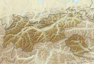
| Map (Tyrol) | |||
|
|
|||
| Coordinates | 47 ° 23 '15 " N , 11 ° 52' 35" E | ||
The Kerschbaumer saddle is 1111 m above sea level. A. high mountain pass between Alpbachtal and Zillertal in the state of Tyrol in Austria .
Location and surroundings
The pass road leads from Reith im Alpbachtal (near the Inn Valley ) over the top of the pass to Hart im Zillertal and Bruck am Ziller . The narrow, continuously paved road is used locally; through traffic uses the B169 / B171 (or A12) further west through the Ziller and Inn valleys.
Web links
Commons : Kerschbaumer Sattel - Collection of images, videos and audio files
- Kerschbaumer saddle at quaeldich.de
- Kerschbaumer Sattel at alpenrouten.de
Individual evidence
- ↑ Sign on site
- ↑ Kerschbaumer Sattel and the surrounding area on Austrian Map online 1: 50,000 (ÖK 50) of the BEV

