Covington, Virginia
| Covington | ||
|---|---|---|
 Main Street |
||
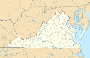
| Location in Virginia | ||
|
|
||
| Basic data | ||
| State : | United States | |
| State : | Virginia | |
| Coordinates : | 37 ° 47 ′ N , 79 ° 59 ′ W | |
| Time zone : | Eastern ( UTC − 5 / −4 ) | |
| Residents : | 6,303 (as of: 2000) | |
| Population density : | 428.8 inhabitants per km 2 | |
| Area : | 14.7 km 2 (approx. 6 mi 2 ) of which 14.7 km 2 (approx. 6 mi 2 ) is land |
|
| Height : | 381 m | |
| Postal code : | 24426 | |
| Area code : | +1 540 | |
| FIPS : | 51-19728 | |
| GNIS ID : | 1498470 | |
| Website : | www.covington.va.us | |
| Mayor : | W. Harrison Scott | |
Covington is an independent city in the US state of Virginia .
The city named after the general and politician Leonard Covington is the seat of the surrounding Alleghany County .
geography
Covington has an area of 14.7 km².
In the city opens the Dunlap Creek in the Jackson River .
Web links
Commons : Covington (Virginia) - Collection of images, videos, and audio files
