Westhoferhöhe
|
Westhoferhöhe
City of Hückeswagen
Coordinates: 51 ° 8 ′ 18 ″ N , 7 ° 18 ′ 46 ″ E
|
||
|---|---|---|
| Height : | 340 m above sea level NN | |
| Postal code : | 42499 | |
| Area code : | 02192 | |
|
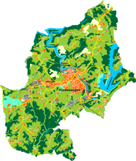
Location of Westhoferhöhe in Hückeswagen |
||
Westhoferhöhe is a village in Hückeswagen in the Oberbergischer Kreis in the administrative district of Cologne in North Rhine-Westphalia (Germany).
Location and transport links
Westhoferhöhe is in western Hückeswagen near the crossroads . Other neighboring towns are Westhofen , Schneppenthal , Heidt , Grünenthal , Altenhof , Kleinenscheidt , Großenscheidt and Kammerforsterhöhe . The village is located on the K5 county road on the highest elevation in the area.
Hiking and biking trails
The following hiking trails lead through the village:

