Karquelle
|
Karquelle
City of Hückeswagen
Coordinates: 51 ° 9 ′ 24 ″ N , 7 ° 19 ′ 31 ″ E
|
||
|---|---|---|
| Height : | 280 m above sea level NN | |
| Postal code : | 42499 | |
| Area code : | 02192 | |
|
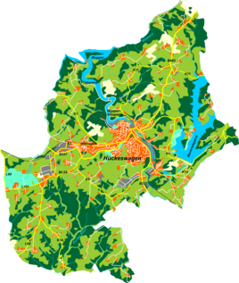
Location of Karquelle in Hückeswagen |
||
Karquelle is a district in Hückeswagen in the Oberbergischer Kreis in the administrative district of Cologne in North Rhine-Westphalia ( Germany ).
Location and description
The Karquelle is located below a single residential building and is located in the western Hückeswagen west of the Pixwaag district . The spelling Charquelle can also be found in the literature .
The Karrberg rises to the west of the village. In the 19th and 20th centuries the Karquelle was a popular destination for local recreation. This was also shown on postcards.
The route of the disused Wippertalbahn between Remscheid Bergisch-Born and Marienheide ( course book route KBS 412) separates the Karquelle from the Wupper pre-dam of the Wuppertalsperre .
Hiking and biking trails
The following hiking trails lead through the village:
- The local hiking trail △ from Elberhausen to the Goldenbergshammer
- The local ■ hiking trail from Kräwinklerbrücke to Hückeswagen center


