Europastraße 38
| Europastraße 38 | |

|
|
| map | |
| Basic data | |
| Overall length: | 3400 km |
|
States : |
|
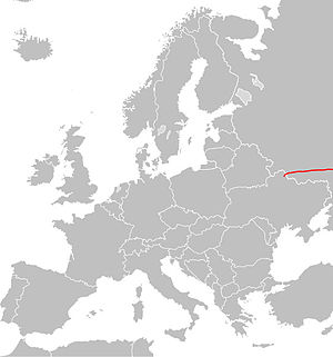
The European route 38 (E 38) leads from Hluchiw in the Ukraine via Voronezh , Saratov , Oral and Qysylorda to Shymkent in Kazakhstan . In Russia the route between Kursk and Saratow corresponds to the A 144 , in Kazakhstan between Oral and Schymkent the M 32 . The E 38 is part of the 50,000-kilometer European road network that extends through Europe, Central and Asia Minor.
course
| 0 km | Junction from the European route 101 (Ukrainian M02 ) |
| 3 km | Hluchiw |
| RUSSIA, Kursk Oblast | |
| 37 km | Krupez |
| 62 km | Rylsk |
| 104 km | Lgow |
| 135 km | Kurchatov |
| 155 km | Djakonovo |
| 180 km | Kursk , crossing of the E 105 (Russian M 2 ) |
| 198 km | Bessedino |
| 248 km | Tim |
| 312 km | Gorschechnoye |
| Voronezh Oblast | |
| 390 km | Gremjachye |
| 413 km | Voronezh, crossing of the E 115 (Russian M 4 ) |
| 431 km | Novaya Usman |
| 447 km | Rogachevka |
| 522 km | Anna |
| 555 km | Arkhangelskoye |
| 595 km | Listopadowka |
| 615 km | Verkhny Karachan |
| 639 km | Crossing the E 119 (Russian M 6 ) |
| 645 km | Borisoglebsk |
| Saratov Oblast | |
| 728 km | Balashov |
| 797 km | Kasachka |
| 833 km | Kalininsk |
| 858 km | Lyssye Gory |
| 956 km | Saratov |
| 974 km | Angel |
| 1,014 km | Besymjannoje |
| 1,060 km | Pushkino |
| 1,096 km | Mokrous |
| 1,158 km | Yershov |
| 1,260 km | Osinki |
| 1,298 km | KAZAKHSTAN |
| 1,402 km | Oral, crossing the E 121 |
| 1,412 km | Podstepnoye |
| 1,541 km | Jambeity |
| 1,762 km | Novoalexeevka |
| 1,876 km | Aqtobe |
| 2,098 km | Qarabutaq |
| 2,296 km | Yrghys |
| 2,472 km | Aral |
| 2,616 km | Äiteke Bi (near Qasaly ) |
| 2,778 km | Lapaly |
| 2,948 km | Kyzylorda , junction of the E 004 , from here shared route with the E 123 |
| 3,074 km | Schijeli |
| 3,125 km | Shangaqorghan |
| 3,227 km | Turkistan |
| 3,252 km | Staroikan |
| 3,297 km | Kortkol |
| 3,324 km | Akschiganak |
| 3,352 km | Temirlan |
| 3,392 km | Schymkent , E 40 , E 123 |
