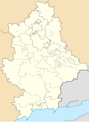
Lymantschuk
| Lymantschuk | ||
| Лиманчук | ||

|
|
|
| Basic data | ||
|---|---|---|
| Oblast : | Donetsk Oblast | |
| Rajon : | City district of Snizhne | |
| Height : | 273 m | |
| Area : | Information is missing | |
| Residents : | 920 (2011) | |
| Postcodes : | 86592 | |
| Area code : | +380 6256 | |
| Geographic location : | 48 ° 1 ' N , 38 ° 49' E | |
| KOATUU : | 1414446500 | |
| Administrative structure : | 1 urban-type settlement | |
| Mayor : | Oleh Charitschkow | |
| Address: | вул. Центральна 1 86591 смт. Гірницьке |
|
| Statistical information | ||
|
|
||
Lymanschuk (Ukrainian Лиманчук ; Russian Лиманчук / Limanschuk ) is an urban-type settlement in eastern Ukraine in Donetsk Oblast with about 900 inhabitants.
geography
The urban-type settlement located in the Don Basin , about 67 kilometers east of Oblastzentrum Donetsk and 5 kilometers east from the center of Snizhne to the city county counts them away.
The place is located within the town of Snizhne in the settlement council of Hirnyzke (2 kilometers south), a brook flows through the place in a southerly direction, to the east the border with the Luhansk Oblast ( Antrazyt district ) extends .
history
Lymanchuk was created before the First World War and was initially called Lomanchuk (Ломанчук), it received the status of an urban-type settlement in 1957 and has been occupied by separatists from the Donetsk People's Republic since the summer of 2014 during the Ukraine War.

