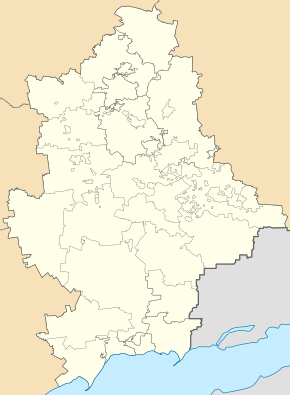
Komsomolske
| Komsomolske | ||
| Комсомольське | ||

|
|
|
| Basic data | ||
|---|---|---|
| Oblast : | Donetsk Oblast | |
| Rajon : | Starobesheve district | |
| Height : | 72 m | |
| Area : | 11.9 km² | |
| Residents : | 11,916 (2013) | |
| Population density : | 1,001 inhabitants per km² | |
| Postcodes : | 87250 | |
| Area code : | +380 6253 | |
| Geographic location : | 47 ° 40 ' N , 38 ° 5' E | |
| KOATUU : | 1424510400 | |
| Administrative structure : | 1 city | |
| Mayor : | Volodymyr Ledowskych | |
| Address: | вул. Леніна 10a 87250 м. Комсомольське |
|
| Statistical information | ||
|
|
||
Komsomolske (Ukrainian Комсомольське - Ukrainian officially since May 12, 2016 Kalmiuske / Кальміуське ; Russian Комсомольское / Komsomolskoje ) is a town of about 12,000 inhabitants (2013) in the Donetsk Oblast in eastern Ukraine , about 42 kilometers southeast of Donetsk on the river Kalmius located. The railway line from Kutejnykowe ends in the village .
It was created in 1933 from the railway settlement Karakubbud (Каракуббуд) and was called up to the renaming in 1949 Karakubstroj (Каракубстрой). Since 1957 it has had the status of a town under district administration. The place grew very quickly due to its large limestone quarries .
As a result of the war in Ukraine , the city has been in the hands of pro-Russian separatists since August 2014 .
Individual evidence
- ↑ Верховна Рада України; Постанова від 05.12.2016 № 1351-VIII Про перейменування окремих населених пунктів та районів на тимчасово окупованих територіях Донецької та Луганської областей
- ↑ Population development ( Memento of the original dated December 29, 2011 in the Internet Archive ) Info: The archive link was inserted automatically and has not yet been checked. Please check the original and archive link according to the instructions and then remove this notice. on World Gazetteer

