Oleniwka (Wolnowacha)
| Olenivka | ||
| Оленівка | ||

|
|
|
| Basic data | ||
|---|---|---|
| Oblast : | Donetsk Oblast | |
| Rajon : | Wolnovacha district | |
| Height : | 216 m | |
| Area : | 4.7 km² | |
| Residents : | 4,729 (2011) | |
| Population density : | 1,006 inhabitants per km² | |
| Postcodes : | 85710 | |
| Area code : | +380 6244 | |
| Geographic location : | 47 ° 50 ' N , 37 ° 40' E | |
| KOATUU : | 1421557100 | |
| Administrative structure : | 1 urban-type settlement , 4 settlements | |
| Address: | вул. Леніна 11 85710 смт. Оленівка |
|
| Statistical information | ||
|
|
||
Oleniwka ( Ukrainian Оленівка ; Russian Оленовка Olenowka ) is an urban-type settlement in eastern Ukraine in Donetsk Oblast with about 4,500 inhabitants.
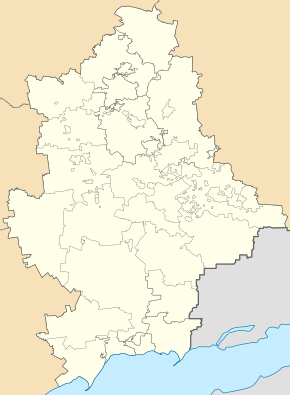
The urban-type settlement located in the north of the Rajons Volnovakha , about 27 kilometers northeast of Rajonszentrum Volnovakha and 21 kilometers southwest of Oblastzentrum Donetsk . The N 20 road and the railway line from Donetsk to Mariupol run through the village . Olenivka is a center of food production in the region.
The settlement council of the same name also includes the settlements Malynowe ( Малинове ), Molodishne ( Молодіжне ), Novomykolaivka ( Новомиколаївка ) and Petrivske ( Петрівське ).
The village was created through settlement efforts of the Russian Empire in 1840, the settlers came from the governorates of Kharkov and Poltava . It received urban-type settlement status in 1938. In August 2014 there was fighting in the place during the war in Ukraine . Since then, Olenivka has been in the hands of the separatists of the Donetsk People's Republic .


