Suhres
| Suhres | ||
| Зугрес | ||

|
|
|
| Basic data | ||
|---|---|---|
| Oblast : | Donetsk Oblast | |
| Rajon : | Kharzysk district | |
| Height : | 141 m | |
| Area : | 14.5 km² | |
| Residents : | 18,474 (2014) | |
| Population density : | 1,274 inhabitants per km² | |
| Postcodes : | 86783 | |
| Area code : | +380 6257 | |
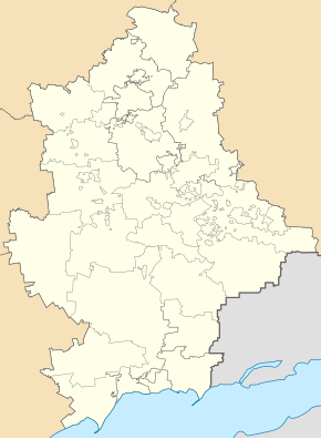
| Geographic location : | 48 ° 1 ' N , 38 ° 16' E | |
| KOATUU : | 1415070500 | |
| Administrative structure : | 1 city , 1 urban-type settlement , 1 village, 1 settlement | |
| Address: | вул. Маяковського 2 86783 м. Зугрес |
|
| Statistical information | ||
|
|
||
Suhres ( Ukrainian Зугрес ; Russian Зугрэс Sugrjes ) is a city in the Ukrainian Donetsk Oblast with about 18,500 inhabitants (2014).
Suhres was founded in 1929 during the construction of the Suivka reservoir on the Krynka and has had city status since 1938. The name is derived from the nearby Suhres power station , in Ukrainian ЗуГРЕС (Зуївська ГРЕС).
geography
The city is located on the Krynka, a tributary of the Mius, dammed up to the Suivka reservoir ( Зуївське водосховище ) . The Donetsk Oblast Center is 40 km west of Suhres. The Ukrainian highway N21 runs through the city .
Administratively, the city is subordinate to the Kharzysk district . In addition to the city itself, the municipality of Suhres also includes the urban-type Mykolaivka settlement , the village of Zupky ( Цупки ) and the settlement of Wodobud ( Водобуд ).
Personalities
- Oleksij Torochtij (* 1986), Ukrainian weightlifter
Web links
Individual evidence
- ↑ Demographics of Ukrainian cities on pop-stat.mashke.org, accessed on September 27, 2014


