Switlodarsk
| Switlodarsk | ||
| Світлодарськ | ||

|
|
|
| Basic data | ||
|---|---|---|
| Oblast : | Donetsk Oblast | |
| Rajon : | Bachmut district | |
| Height : | 172 m | |
| Area : | 2.12 km² | |
| Residents : | 12,164 (2013) | |
| Population density : | 5,738 inhabitants per km² | |
| Postcodes : | 84792 | |
| Area code : | +380 6249 | |
| Geographic location : | 48 ° 26 ' N , 38 ° 13' E | |
| KOATUU : | 1410970500 | |
| Administrative structure : | 1 city | |
| Mayor : | Anatoly Brechunets | |
| Address: | пр. Леніна 5 84792 м. Світлодарськ |
|
| Statistical information | ||
|
|
||
Switlodarsk (Ukrainian Світлодарськ ; Russian Светлодарск / Swetlodarsk ) is a city in Donetsk Oblast in eastern Ukraine with about 12,000 inhabitants.
Until May 20, 2015, the city was administratively part of the city of Debaltseve , after which it came to Artemivsk Raion (now Bachmut Raion ) by decision of the Verkhovna Rada .
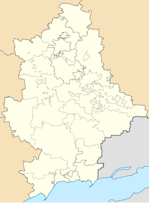
Switlodarsk is located in the central Donets Basin , about 24 kilometers southeast of the Bachmut Rajonszentrum , 17 kilometers from Debaltseve and 58 kilometers northwest of the Donetsk Oblast Center on the Luhan River and the Wuhlehirsk reservoir .
The city was founded in 1970 and was intended to serve as a housing estate for the workers of the Wuhlehirsk power plant . In 1992 it was granted city status.
During the Ukraine War , the city had been a frontline town since 2015 and was held by units of the Ukrainian Army, but became a ghost town with a few hundred inhabitants and 60 percent destroyed buildings.


