Manhush
| Manhush | ||
| Мангуш | ||

|
|
|
| Basic data | ||
|---|---|---|
| Oblast : | Donetsk Oblast | |
| Rajon : | Manhush district | |
| Height : | 56 m | |
| Area : | Information is missing | |
| Residents : | 8,007 (2019) | |
| Postcodes : | 87400 | |
| Area code : | +380 6297 | |
| Geographic location : | 47 ° 3 ' N , 37 ° 18' E | |
| KOATUU : | 1423955100 | |
| Administrative structure : | 1 urban-type settlement | |
| Address: | вул. Леніна 66 87400 смт.Мангуш |
|
| Statistical information | ||
|
|
||
Manhusch ( Ukrainian Мангуш ; Russian Мангуш Mangush ) is an urban-type settlement in eastern Ukraine in Donetsk Oblast with 8,000 inhabitants (2016). The village is the administrative seat of the Manhush district .
geography
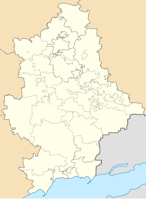
Manhush is located on the banks of the Mokra Bilosarajka ( Мокра Білосарайка ), a 10 km long tributary to the Sea of Azov in the center of the Manhush Rajon 127 km southwest of the Donetsk Oblast center and 20 km west of Mariupol . The municipality is located on the M14 trunk road from Berdyansk to Mariupol.
history
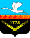
The settlement was founded in 1778 with the name Manhusch. In 1969 the village received urban-type settlement status. From 1946 to 1995 the village was called Perschotrawnewe and then got its historical name back. The Rajon of the same name then bore this name until 2016 and not, as otherwise, the name of the locality of the administrative seat.
population
| 1959 | 1970 | 1979 | 1989 | 2001 | 2013 | 2019 |
|---|---|---|---|---|---|---|
| 5,578 | 6,179 | 7.002 | 7,467 | 8,468 | 8,234 | 8.007 |
Source:
Web links
- History of the city on the pages of the oblast (Ukrainian)
- Page about the region (Russian)
Individual evidence
- ↑ a b Demography of Ukrainian cities on pop-stat.mashke.org
Remarks
- ↑ The Ukrainian language Wikipedia has an article on the river under: Мокра Білосарайка


