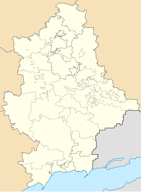
Talakivka
| Talakivka | ||
| Талаківка | ||

|
|
|
| Basic data | ||
|---|---|---|
| Oblast : | Donetsk Oblast | |
| Rajon : | Mariupol District | |
| Height : | 6 m | |
| Area : | 2.39 km² | |
| Residents : | 4,113 (2015) | |
| Population density : | 1,721 inhabitants per km² | |
| Postcodes : | 87594 | |
| Area code : | +380 629 | |
| Geographic location : | 47 ° 11 ' N , 37 ° 43' E | |
| KOATUU : | 1412365800 | |
| Administrative structure : | 1 urban-type settlement , 1 village, 1 settlement | |
| Address: | вул. 40 років Жовтня 235 87594 смт. Талаківка |
|
| Statistical information | ||
|
|
||
Talakivka ( Ukrainian Талаківка ; Russian Талаковка Talakowka ) is an urban-type settlement in Donetsk Oblast in eastern Ukraine with about 4,000 inhabitants.
The village is located on the banks of Kalmius in 87 kilometers from the northern Oblastzentrum Donetsk and 16 kilometers from the southwest to the city center of Mariupol .
Talakivka is administratively part of the city of Mariupol and is located there in Stadtrajon Kalmius , the settlement council of the same name also includes the village of Hnutowe (Гнутове) and the settlement of Lomakyne (Ломакине).
It was mentioned in writing for the first time in 1796, in 1956 the village received the status of an urban-type settlement , at the same time the previously existing place Feodosiyivka was incorporated in the south of the current settlement, since 1968 Talakivka has been part of the municipality of Mariupol (then Schdanow).
During the battle for Mariupol in the course of the war in Ukraine there was also fighting over the place.
Web links


