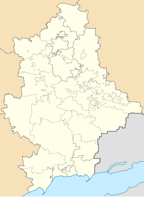
Oleksandrivka (Kramatorsk)
| Oleksandrivka | ||
| Олександрівка | ||

|
|
|
| Basic data | ||
|---|---|---|
| Oblast : | Donetsk Oblast | |
| Rajon : | Kramatorsk City District | |
| Height : | 92 m | |
| Area : | 0.38 km² | |
| Residents : | 419 (2013) | |
| Population density : | 1,103 inhabitants per km² | |
| Postcodes : | 84393 | |
| Area code : | +380 626 | |
| Geographic location : | 48 ° 45 ' N , 37 ° 27' E | |
| KOATUU : | 1412945300 | |
| Administrative structure : | 1 urban-type settlement | |
| Address: | вул. Волгодонська 85 84393 смт. Шабельківка |
|
| Statistical information | ||
|
|
||
Oleksandrivka ( Ukrainian Олександрівка ; Russian Александровка Alexandrowka ) is an urban-type settlement in Donetsk Oblast in eastern Ukraine with about 400 inhabitants.
The place, which was founded in 1853, has had the status of an urban-type settlement since 1962 and belongs to the Settlement Council Community of Shabelkivka , which in turn belongs to the urban district of Kramatorsk .
It is located in the north of Donetsk Oblast on the banks of the Mayachka ( Маячка ), a tributary of the Kasennyj Torez , east of Shabelkivka, the Oblast capital Donetsk is 90 kilometers south of the place, the city center of Kramatorsk is 7 kilometers east. The Kramatorsk reservoir (Краматорське водосховище) extends to the western edge of the place.
Individual evidence
- ↑ Aleksandrowka (Oleksandrivka). Retrieved May 5, 2020 .

